Imagine waking up, walking from your bedroom to your kitchen for coffee… and crossing an international border along the way.
For some people, that isn’t a thought experiment—it’s daily life.
Around the world, borders exist that make absolutely no geographical sense. They slice through houses, divide towns into jigsaw puzzles, separate families by time zones, and force people to cross international checkpoints just to go grocery shopping. These borders weren’t shaped by rivers, mountains, or logic—but by medieval land deals, colonial mistakes, and political power plays.
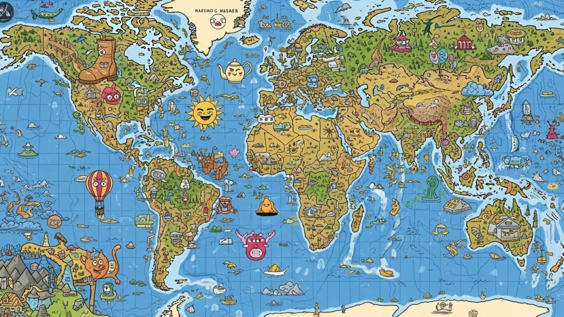
Today, we’re exploring 10 borders that completely ignore geography—and the strange, sometimes tragic, sometimes fascinating realities they’ve created.
When Borders Stop Making Sense
On a map, borders look clean and orderly. Straight lines. Clear divisions. A comforting illusion of logic.
But reality is messier.
Some borders zigzag through living rooms. Others cut countries in half because of a treaty signed centuries ago by people who had never even seen the land. These lines decide which laws you live under, what language your children learn, which currency you use—and in some cases, what day it is.
Behind every strange border is a human story. And those stories are far stranger than fiction.
1. The Checkerboard Town: Baarle-Hertog (Belgium) & Baarle-Nassau (Netherlands)
Baarle doesn’t look like a town—it looks like a mistake.
This single community is divided into 30 separate pieces of territory, including 22 Belgian enclaves inside the Netherlands, and 8 Dutch counter-enclaves inside Belgium. The border runs through streets, shops, cafés, and even houses. Metal studs and white crosses in the pavement show exactly where one country ends and the other begins.
Your nationality here depends on one thing: where your front door is located. Some residents have even moved their doors a few feet to switch countries for tax or legal reasons.
The chaos dates back over 800 years to medieval land deals between feudal lords. What were once harmless property boundaries later became an international border—officially finalized only in 1995.
Today, Baarle embraces its absurdity. It has two mayors, two police forces, and businesses where customers casually sip coffee in two countries at once.
2. The Island of Yesterday and Tomorrow: The Diomede Islands (USA & Russia)
In the icy Bering Strait lie two islands just 2.4 miles apart—yet separated by 21 hours in time.
Little Diomede belongs to the United States. Big Diomede belongs to Russia. Between them runs the International Date Line, meaning you can literally look from today into tomorrow.
On a clear day, you can see Russia from Alaska. But during the Cold War, this narrow stretch of water became the “Ice Curtain.” Families were split, travel was forbidden, and Big Diomede’s native population was forcibly relocated.
Today, Little Diomede’s tiny community lives in extreme isolation, staring across the water at land that once was home—but now exists in another country, another political reality, and another day.
3. The Forgotten Islands: The Former India–Bangladesh Enclaves
Until 2015, the India–Bangladesh border was the most complex on Earth.
There were 162 enclaves, including counter-enclaves and even a third-order enclave—a piece of India inside Bangladesh, inside India, inside Bangladesh.
Over 50,000 people lived in these pockets, effectively stateless. They had no access to police, hospitals, schools, or legal travel. To see a doctor or buy food, they had to illegally cross an international border.
The chaos originated from centuries-old land agreements and was ignored during the 1947 partition of India.
In 2015, both countries finally acted. In a historic border swap, all enclaves were exchanged, and residents were given citizenship. One of the world’s most illogical borders disappeared overnight.
4. The Panhandle of Power: Namibia’s Caprivi Strip
Namibia has one of the strangest shapes in Africa—thanks to a 450-kilometer-long panhandle stretching toward the Zambezi River.
This strip exists because Germany wanted river access during the colonial “Scramble for Africa.” In 1890, Germany traded away Zanzibar for this narrow corridor.
There was just one problem. The Zambezi River isn’t fully navigable—thanks to Victoria Falls.
The entire border was based on a geographical misunderstanding.
Today, the strip divides ethnic groups, disrupts wildlife migration, and fuels long-standing political tensions—an enduring monument to colonial arrogance.
5. The American Town You Can’t Drive To: Point Roberts, Washington
Point Roberts is part of the United States. To drive there, you must go through Canada.
This tiny American town exists because of a perfectly straight border along the 49th parallel, drawn in 1846 without regard for the land below it. The result? A five-square-mile peninsula physically attached to Canada but politically American.
Residents cross the border twice just to reach the rest of their own state. During COVID-19, border closures nearly cut the town off completely.
It’s a place where geography says Canada—but politics says USA.
6. The Scar on Hispaniola: Haiti & the Dominican Republic
From space, this border looks like a wound.
On one side: lush green forests.
On the other: barren, deforested land.
The divide reflects centuries of colonial exploitation, debt, deforestation, and economic inequality. Haiti, once forced to pay crushing reparations to France, stripped its forests for survival. The Dominican Republic followed a different path.
The border isn’t just political—it’s environmental, economic, and painfully visible.
7. The Invisible Fences: Georgia, South Ossetia & Abkhazia
Some borders aren’t on maps.
In Georgia, fences appear overnight. Farmers wake up to barbed wire cutting through orchards, homes, and villages. This process—known as “borderization”—follows Russia’s 2008 war with Georgia.
People are detained for visiting family graves. Others are literally fenced out of their own country.
These borders weaponize uncertainty—and turn geography into a tool of control.
8. The Highway That Wasn’t: Croatia & the Neum Corridor
For decades, driving through Croatia meant briefly leaving Croatia.
A 9-kilometer stretch of Bosnia and Herzegovina cut the country in two, forcing passport checks just to continue along the coast.
The solution? The Pelješac Bridge, opened in 2022. It bypassed the corridor entirely—finally reconnecting Croatia without borders.
A 300-year-old problem solved with modern engineering.
9. The River That Became a Country: The Gambia
The Gambia is essentially a river with a flag.
This narrow nation follows the Gambia River, surrounded almost entirely by Senegal. Its shape exists because Britain wanted control of one river—while France claimed the rest.
The result is one of the most geographically unusual countries on Earth, where colonial rivalry turned a waterway into a nation.
10. The Zip-Line Border: Portugal & Spain
To end on a lighter note… At the Portugal–Spain border, you can cross countries by zip-line.
Launching from Spain, you fly 720 meters across the Guadiana River—and land in Portugal one hour earlier due to the time difference.
No guards. No stamps. Just gravity and adrenaline.
It’s a border that turns division into connection.
Final Thoughts: Lines That Shape Lives
These borders prove one thing: maps lie by omission.
Behind every straight line is a story—of power, error, survival, and adaptation. These borders decide where you belong, how you live, and sometimes whether you’re even recognized as a citizen.
They remind us that geography is real—but borders are human inventions. And humans, as history shows, don’t always draw straight.
10 Strangest Borders on Earth You Didn't Know About
00:00 – Borders That Don’t Make Sense
02:19 – 1. The Cehckerboard Town: Baarle-Hertog & Baarle-Nassau
05:08 – 2. The Island of Yesterday and Tomorrow: The Diomede Islands
07:39 – 3. The Forgotten Islands of the Ganges: The India-Bangladesh Enclaves
10:17 – 4. The Panhandle of Power: Namibia’s Caprivi Strip
12:33 – 5. The American Town You Can’t Drive To: Point Roberts, Washington
15:18 – 6. The Scar on Hispaniola: Haiti & The Dominican Republic
17:47 – 7. The Invisible Fences of Georgia: South Ossetia & Abkhazia
19:51 – 8. The Invisible Fences of Georgia: The Neum Corridor
22:12 – 9. The River That Became a Country: The Gambia
24:14 – 10. The Zip-Line to Another Country: Portugal & Spain
🔗 Facebook: https://www.facebook.com/GlobalWhys
🔗 Blog: https://globalwhys.comShow More
What Do You Think?
Which of these borders shocked you the most?
Did we miss any that deserve a place on this list?
Let me know in the comments—I read every single one. If you enjoyed this deep dive into the strangest edges of the map, like the video, subscribe, and turn on notifications for more stories where history, geography, and human curiosity collide.
See you on the next journey.
Frequently Asked Questions (FAQ)
What is the strangest border in the world?
There isn’t a single definitive answer, but Baarle-Hertog and Baarle-Nassau in Belgium and the Netherlands are often considered the strangest. The border there forms a complex checkerboard of enclaves and counter-enclaves, with houses, streets, and businesses split between two countries—sometimes within the same building.
Are there really houses located in two countries at once?
Yes. In places like Baarle, the international border runs directly through private homes and businesses. A person’s official nationality is determined by the location of their front door, which has led some residents to physically move doors to change which country they live in.
Why do some borders ignore geography completely?
Most illogical borders are the result of historical treaties, colonial decisions, or feudal land agreements made without accurate maps or local knowledge. Many were drawn by distant powers who never visited the land, using straight lines or inherited property boundaries instead of natural features like rivers or mountains.
Which border separates two different days?
The Diomede Islands between the United States and Russia are separated by the International Date Line. Although the islands are only 2.4 miles apart, they are nearly a full day apart in time, earning them the nicknames Yesterday Island and Tomorrow Island.
Do people still live inside enclaves today?
In some places, yes. However, the most extreme example—the India-Bangladesh enclaves—was resolved in 2015 when both countries exchanged territories and granted residents full citizenship. This ended decades of statelessness for over 50,000 people.
Why is Haiti so deforested compared to the Dominican Republic?
The dramatic contrast is caused by historical, economic, and political factors. Haiti faced intense colonial exploitation, crippling debt after independence, and heavy reliance on charcoal for fuel, leading to widespread deforestation. The Dominican Republic followed a different development path and implemented stronger environmental protections.
Can borders actually move?
Yes. In places like Georgia, informal borders known as “creeping borders” shift over time. Fences and barriers are gradually installed, sometimes overnight, cutting through farmland and villages. These borders are not internationally recognized but have very real consequences for local residents.
Why does Point Roberts belong to the United States?
Point Roberts exists because of the 1846 Oregon Treaty, which defined the US-Canada border along the 49th parallel. The line unintentionally cut off the tip of a peninsula, leaving Point Roberts geographically connected to Canada but politically part of the United States.
Is it legal to cross a border by zip-line?
At the Portugal–Spain zip-line crossing, yes. Because both countries are part of the Schengen Area, there are no passport controls. The zip-line is a legal and popular tourist attraction that allows visitors to cross an international border in under a minute.
Are borders always permanent?
Not necessarily. Borders can and do change through treaties, wars, negotiations, and infrastructure projects. The India-Bangladesh enclave swap and Croatia’s Pelješac Bridge are modern examples of how borders can be redefined or effectively bypassed.


Leave a Reply